



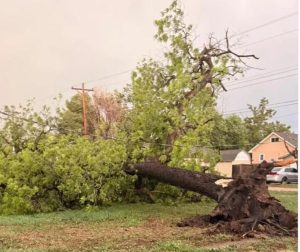
Lexington, Neb. — Severe storms that swept across central and western Nebraska Saturday night produced damaging winds, large hail and a possible tornado.

Courtesy/Facebook — Matt Fitzgerald — May 30, 2026
The strongest reported wind gusts topped 79 mph near Lexington, with reports of building damage, including roofs and siding, street flooding, snapped power lines, power outages, and large tree limbs brought down across the region.
KRVN’S Bob Brogan was able to learn about some of the storm’s impact and how it originated, from Senior Forecaster Shawn Rossi, with the National Weather Service in Hastings...
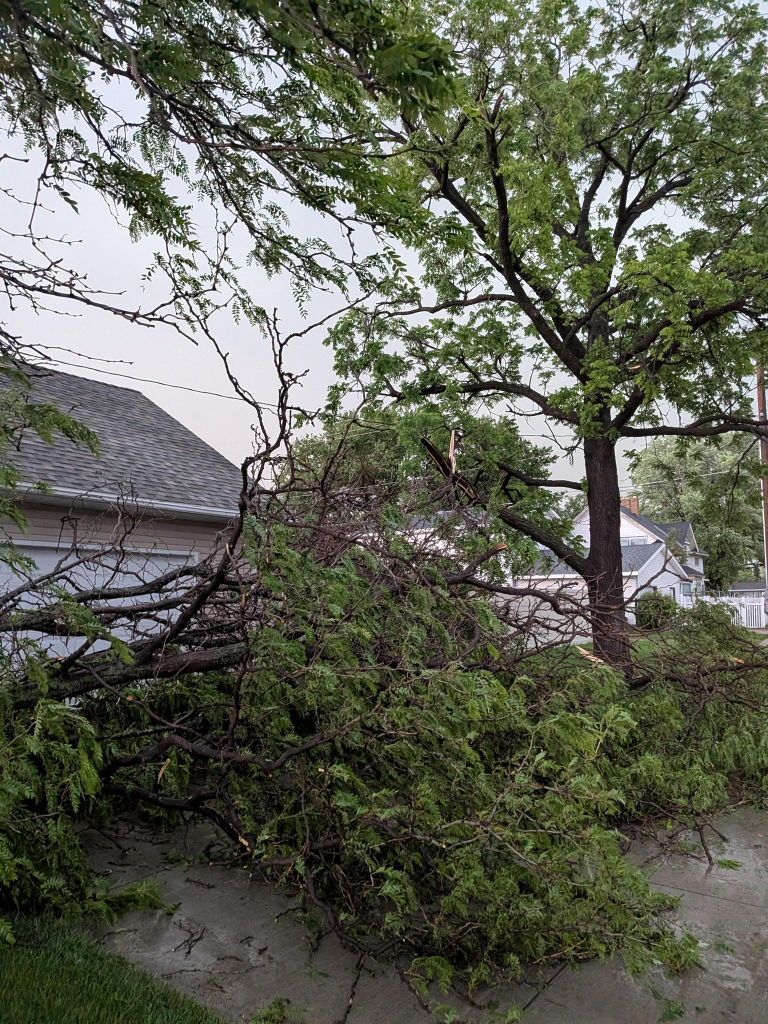
Courtesy/Facebook — Pastor Rob Kuefner — major tree damage at 7th & Jackson, Lexington — May 30, 2026

Courtesy/Facebook — Tabetha Bradlee Becha — Hail Southwest of Beaver City. Went from pea-sized to these big boys — May 30, 2026

Courtesy/Facebook — Katie Alvarado — Greenwood Cemetery — May 30, 2026

Courtesy/Flattened grain bin in rural Lexington — May 30, 2026
The storm knocked out power for a time around Norman and Holstein, according to Southern Public Power District. Dawson Public Power District also reported outages for rural customers around Lexington.
Strong winds also battered trees in Grand Island, with large branches down in some areas.
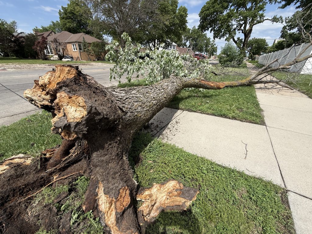
Tree Damage in Grand Island — May 31, 2026
There were also reports of baseball-sized hail near Wellfleet, which shattered and damaged vehicle windshields and a possible tornado was reported north of Wellfleet, south of North Platte in rural Lincoln county
Golf-ball-sized hail was also reported near Arthur, Keystone, and the Scottsbluff Airport.